£0.00
ex VAT
551460
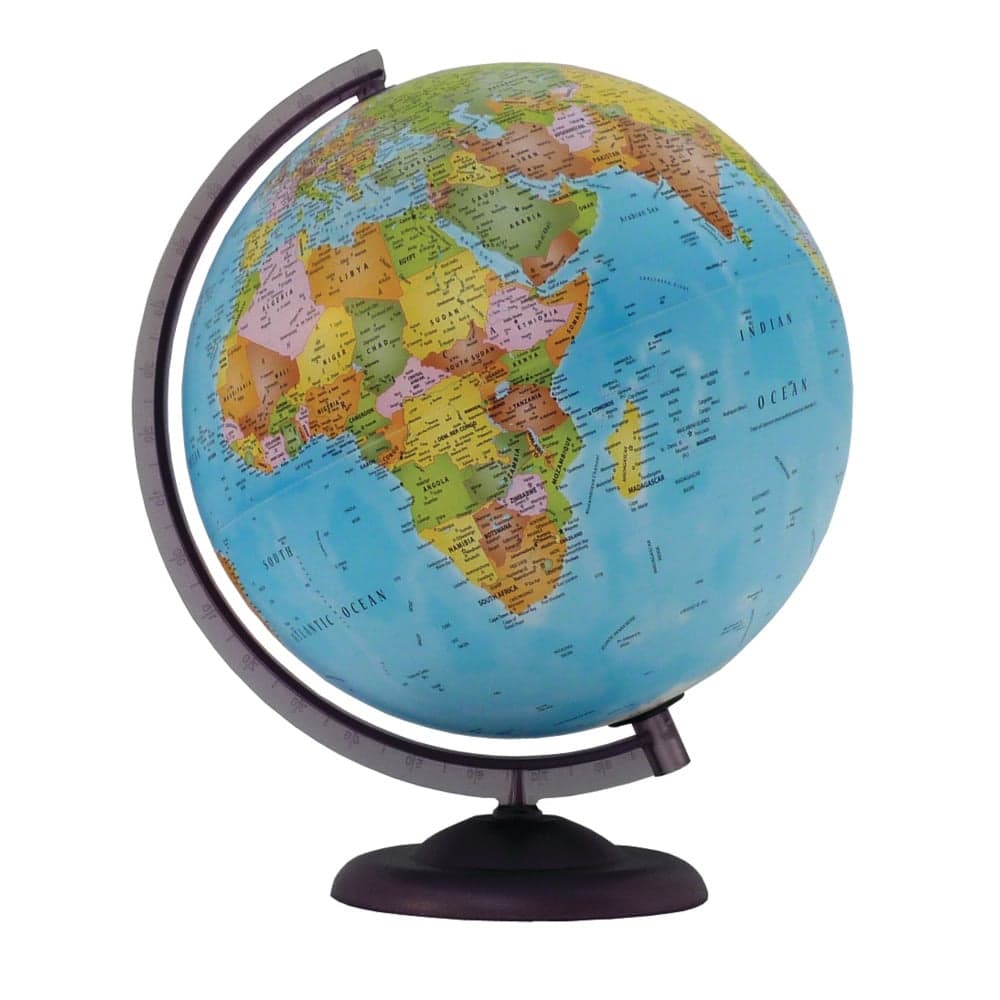
The cartography gives clear political boundaries of the world ideal for KS2.Mounted on a durable plastic base the political globe is colour coded with over 2500 place names.Continent and ocean names are also labelled in a larger font. Each city marked carries a symbol according to population levels. In addition capital cities are emboldened and marked with a larger black star. Relevant ocean features are included such as ridges rises trenches and basins. The International Date Line is clearly marked.